Harvey Maps Lake District South East
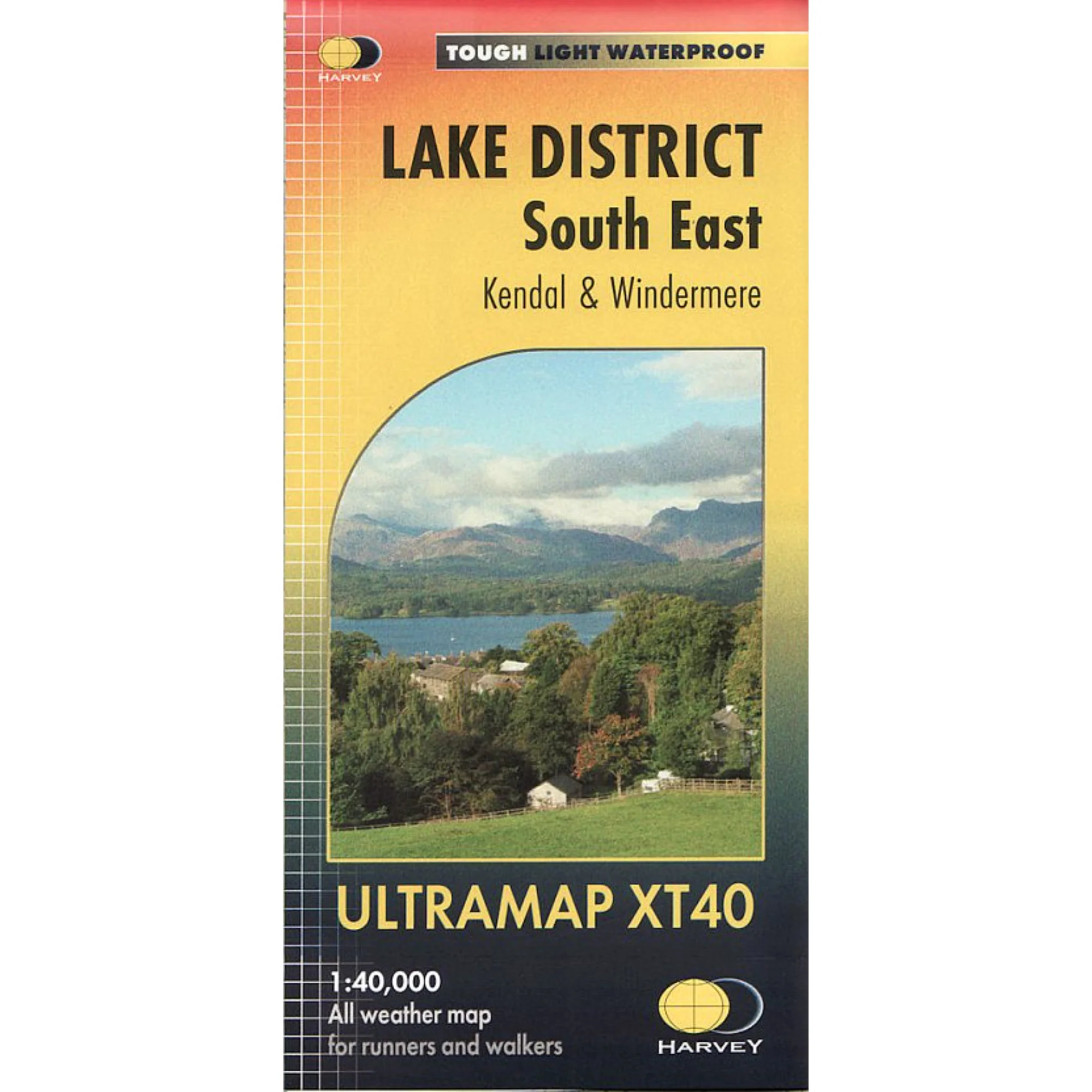
Detailed map for runners and walkers of the south eastern fells of the Lake District National Park at the magic scale of 1:40,000.
The map has Lake Windermere in the centre. Includes Ambleside, Coniston and Kendal and the superb mountain biking area of Grizedale Forest.
Specification
- Manufacturer: Harveys Map
- Map Area: Lake District South East
- Scale: 1:40000
- Printed on polyethylene (strong, durable & 100% waterproof)
- GPS compatible
- Page Size: 73 x 152 mm
- Weight: 40g
Related Collections
- If this isn't the right area, check out our full Harveys Map Collection
- Or for our full range of English maps including OS, check out our English Maps Collection
Product Information
Product Information
Shipping & Returns
Shipping & Returns
Harvey Maps Lake District South East
Harvey Maps Lake District South East
Detailed map for runners and walkers of the south eastern fells of the Lake District National Park at the magic scale of 1:40,000.
The map has Lake Windermere in the centre. Includes Ambleside, Coniston and Kendal and the superb mountain biking area of Grizedale Forest.
Specification
- Manufacturer: Harveys Map
- Map Area: Lake District South East
- Scale: 1:40000
- Printed on polyethylene (strong, durable & 100% waterproof)
- GPS compatible
- Page Size: 73 x 152 mm
- Weight: 40g
Related Collections
- If this isn't the right area, check out our full Harveys Map Collection
- Or for our full range of English maps including OS, check out our English Maps Collection
Original: $14.95
-65%$14.95
$5.23Product Information
Product Information
Shipping & Returns
Shipping & Returns
Description
Detailed map for runners and walkers of the south eastern fells of the Lake District National Park at the magic scale of 1:40,000.
The map has Lake Windermere in the centre. Includes Ambleside, Coniston and Kendal and the superb mountain biking area of Grizedale Forest.
Specification
- Manufacturer: Harveys Map
- Map Area: Lake District South East
- Scale: 1:40000
- Printed on polyethylene (strong, durable & 100% waterproof)
- GPS compatible
- Page Size: 73 x 152 mm
- Weight: 40g
Related Collections
- If this isn't the right area, check out our full Harveys Map Collection
- Or for our full range of English maps including OS, check out our English Maps Collection