Harvey Maps Lake District South East
The map has Lake Windermere in the centre, and covers Ambleside, Kendal and Coniston. Includes the superb mountain biking area of Grizedale Forest.
Detailed walking map for hillwalkers of the south eastern area of the Lake District National Park at the popular 1:25,000 scale.
Specification
- Manufacturer: Harveys Map 1:25
- Map Area: Lake District
- Scale: 1:25000
- Printed on polyethelene (strong, durable and 100% waterproof)
- GPS Compatible
- Includes pubs and cafes for the end of the day
Related Collections
- If this isn't the right area, check out our full Harveys Map Collection
- Or for our full range of English maps including OS, check out our English Maps Collection
Product Information
Product Information
Shipping & Returns
Shipping & Returns
Harvey Maps Lake District South East
Harvey Maps Lake District South East
The map has Lake Windermere in the centre, and covers Ambleside, Kendal and Coniston. Includes the superb mountain biking area of Grizedale Forest.
Detailed walking map for hillwalkers of the south eastern area of the Lake District National Park at the popular 1:25,000 scale.
Specification
- Manufacturer: Harveys Map 1:25
- Map Area: Lake District
- Scale: 1:25000
- Printed on polyethelene (strong, durable and 100% waterproof)
- GPS Compatible
- Includes pubs and cafes for the end of the day
Related Collections
- If this isn't the right area, check out our full Harveys Map Collection
- Or for our full range of English maps including OS, check out our English Maps Collection
Product Information
Product Information
Shipping & Returns
Shipping & Returns
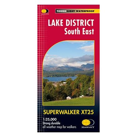
Description
The map has Lake Windermere in the centre, and covers Ambleside, Kendal and Coniston. Includes the superb mountain biking area of Grizedale Forest.
Detailed walking map for hillwalkers of the south eastern area of the Lake District National Park at the popular 1:25,000 scale.
Specification
- Manufacturer: Harveys Map 1:25
- Map Area: Lake District
- Scale: 1:25000
- Printed on polyethelene (strong, durable and 100% waterproof)
- GPS Compatible
- Includes pubs and cafes for the end of the day
Related Collections
- If this isn't the right area, check out our full Harveys Map Collection
- Or for our full range of English maps including OS, check out our English Maps Collection